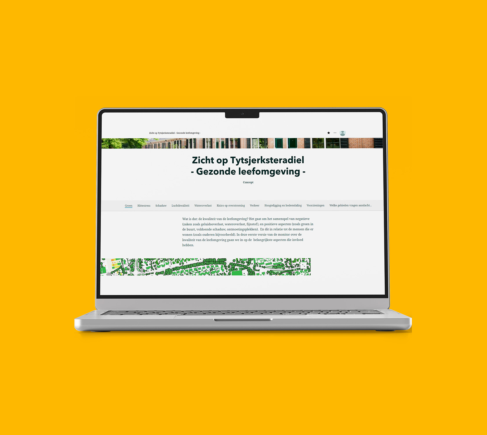
Livability monitor
A scalable monitor that helps the municipalities of Tytsjerksteradiel and Achtkarspelen identify where targeted action is needed to improve livability.

Their challenge
The municipality is actively working towards a pleasant, safe, and sustainable living environment. Themes such as greening, heat stress, shade, traffic safety, and water nuisance are becoming increasingly important for all areas in the municipality. To better understand these topics and how they relate to one another, the municipality wanted to develop a livability monitor based on their own data and open data sources such as CBS and the Climate Impact Atlas.
However, developing such a monitor comes with challenges. The monitor consists of multiple themes, each requiring data expertise and significant development time. At the same time, the municipality wanted results in the short term, even though the effort and timeline were difficult to estimate. In addition, most of the open data sources were available as detailed raster data, which needed to be translated into the municipal areas used for policy and analysis and made suitable for use in ArcGIS Online.
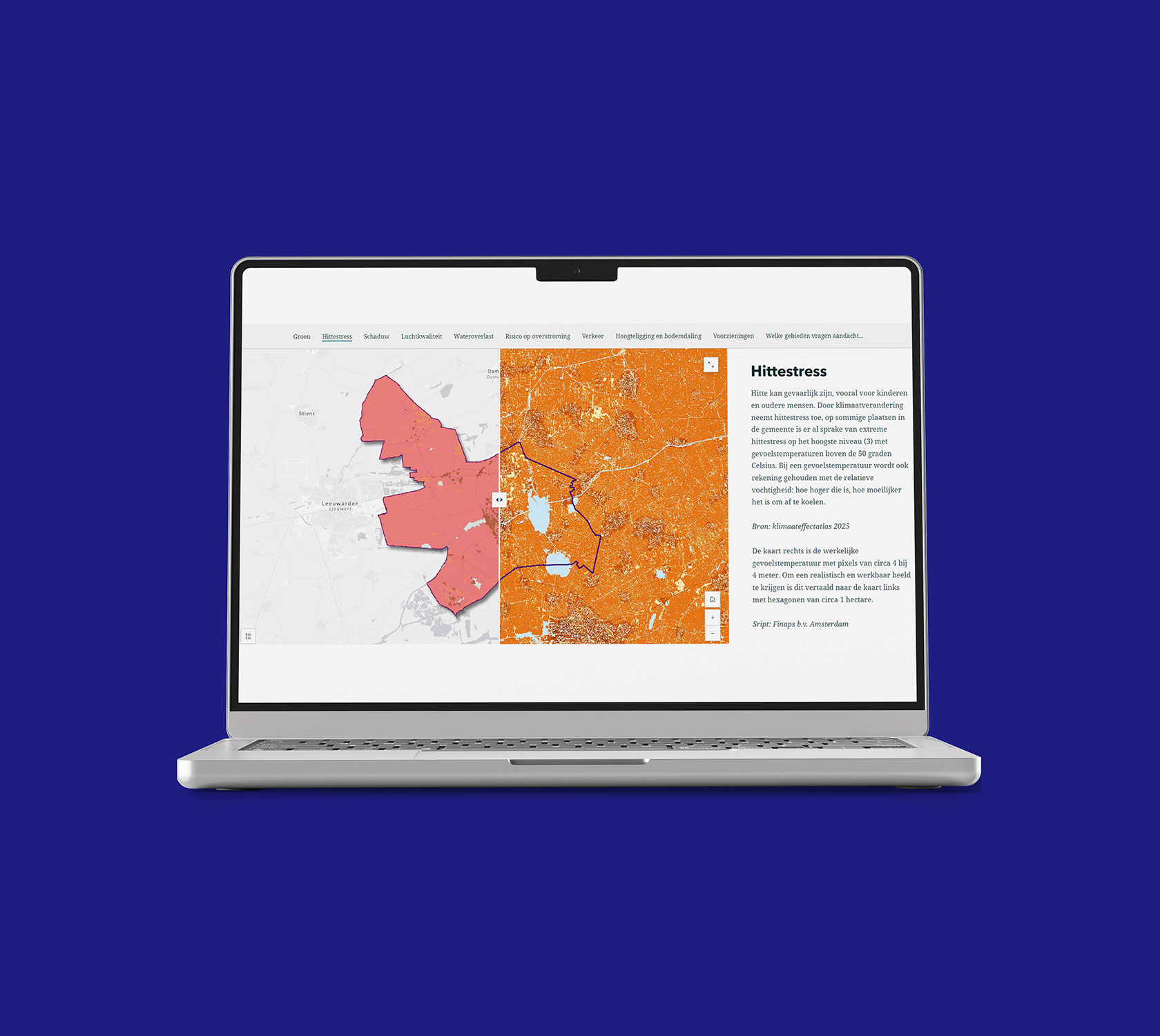
We helped the municipality take a “think big, start small” approach. Together, we fully developed one theme: heat stress, as a complete and usable first version of the livability monitor. We defined clear thresholds for the heat stress by classifying perceived temperature into five levels. Using Python, we built a solution that gets open raster data, converts it to municipal areas, and prepares it in a suitable format. Next, we used ArcGIS Online to create the maps for the monitor
The solution forms a reusable founding. The municipality can now add raster data from other themes (for example water nuisance) themselves and convert it the same way. We delivered the solution with documentation and training, enabling the municipality to independently expand, maintain, and further develop their livability monitor.

Industry
Public sector
Technology
Python, ArcGIS Online, StoryMap
Solution
Applied Analytics